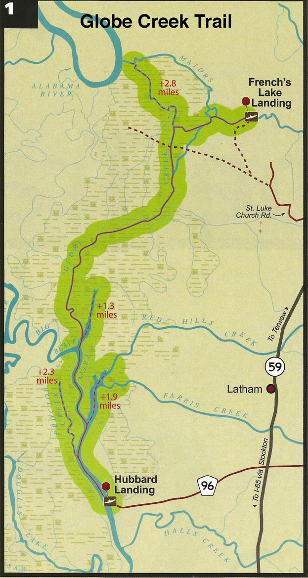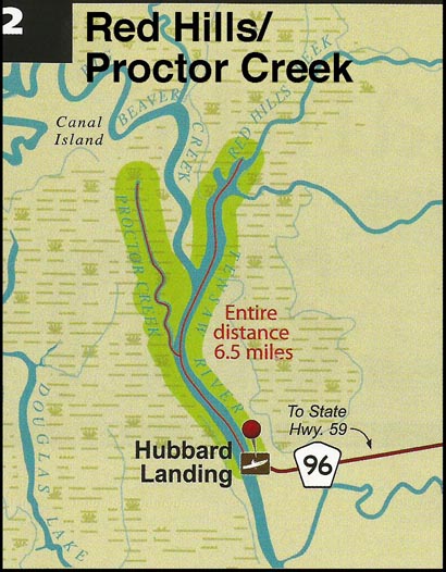
2. Red Hill/Proctor Creek Trail (day use)
Distance: 6.5 miles all
Start: Hubbard Landing
End: Hubbard Landing
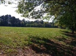
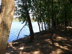
Type of trail: creek, lake, and slough
Habitats: bottomland hardwood swamp, flowing creeks, side channel sloughs and backwaters.
Reliability: excellent
Optimal water levels: Claiborne Dam river stages ranging from 6 to 19 feet on tailrace reading provide optimum water levels for this route. For water level information at Claiborne Dam, call 1-888-771-4601.
The Red Hill/Proctor Creek Trail day trail begins at Hubbard Landing, located south of Forever Wild Land Trust's Clearwater Tract.
Hubbard's Landing is located north of Stockton, AL, at the end of Baldwin County road 96. The route leaves the landing and proceeds upstream on Tensaw Lake to Proctor Creek, then continues upstream on Tensaw Lake slough and Red Hills Creek. The map shows that paddlers have several options for selecting the length and duration of this day-trip.